
Proximity Drives Performance

Purpose-engineered for the most valuable orbit in space.
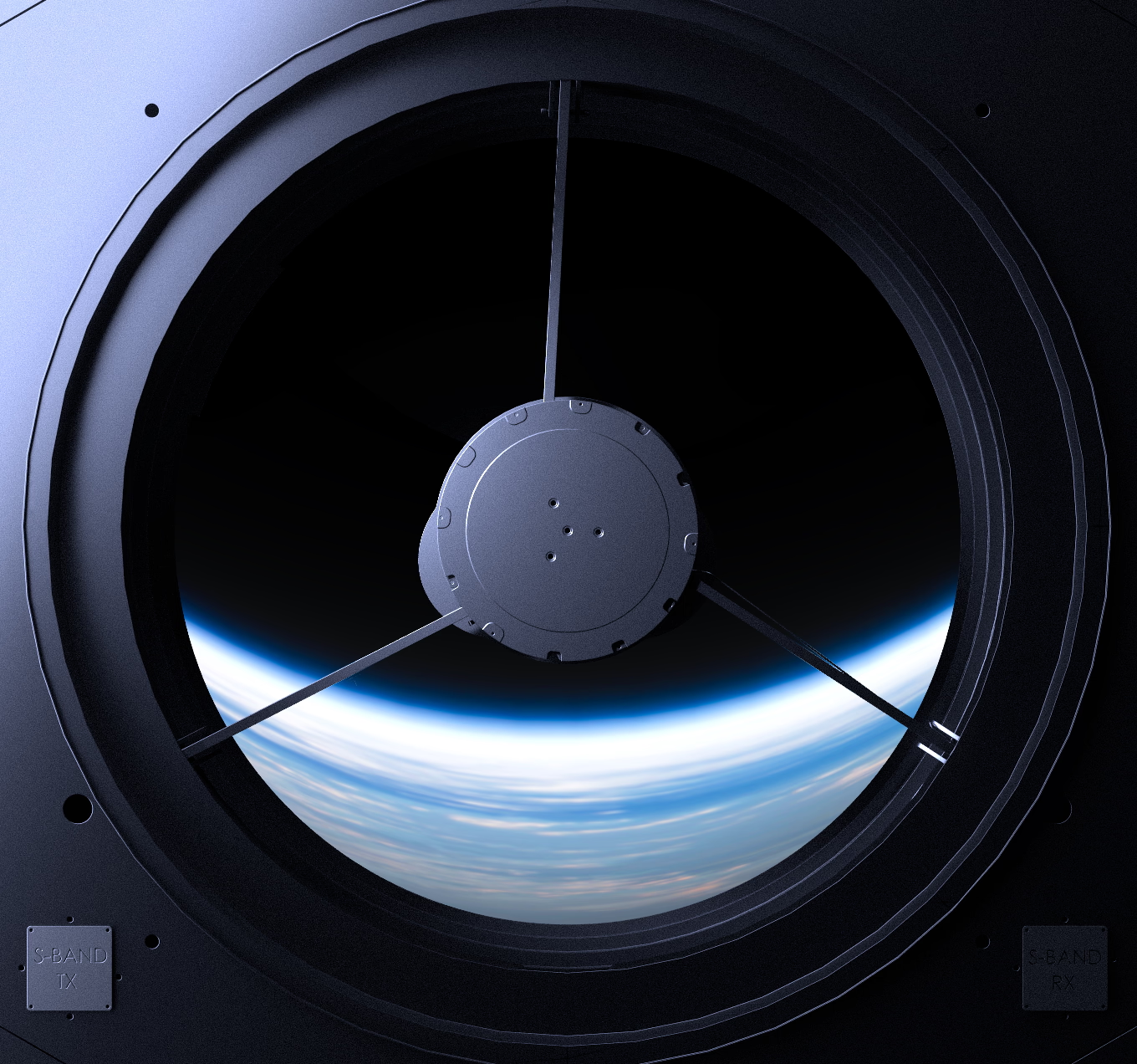
New altitude.
Access VLEO.
Cost
At half the altitude, exquisite capability doesn’t require exquisite budgets. Satellites sized to deliver without the overhead of traditional platforms.
Architecture
Unlock a new paradigm. Where other orbits force trade-offs, VLEO delivers cost, schedule, and performance together.
Resilience
Operating below the radiation belts. Self-cleaning from debris. A strategic layer that stays operational when other orbits can’t.
Proximity proven. Performance delivered.
What used to require billion-dollar bespoke satellites in LEO happens now with more affordable, proliferated systems in VLEO.
- 4x improvement in Resolution & closing RF links
- 16x improvement in active signal returns
- Faster intercept times
- Lower latency

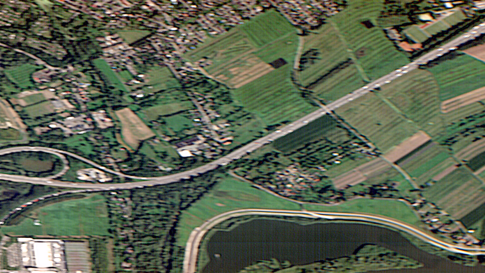
Infrared Image captured by Clarity-1, Rural scene Japan, 2025

Imagery captured by Clarity-1, 2025
Resilience assured.
When higher orbits are compromised, VLEO keeps working. Assured reconstitution.
- Below the belts that trap radiation
- Self-cleaning debris environment
- proliferated and Exquisite capability

adaptive.
High-resolution EO/IR and RF observation enabled by proximity—delivering sharper detail, higher sensitivity, and enhanced capabilities across the EM spectrum.
Unlock R⁴-class performance gains across radar, lidar, MTI, and other active sensing missions, enabling smaller apertures, lower transmit power, and improved detection and tracking fidelity.
Low-latency connectivity directly to handhelds, vehicles, and tactical systems. R² performance gains enable lower power links, smaller terminals, and reliable coverage.
Time-critical detection, tracking, and fire-control from a resilient altitude with proximity-boosted SNR. Faster time to intercept for tight engagement windows.
VLEO’s proximity provides a distinct vantage for space domain awareness. High maneuverability supports proximity operations, sustained custody, and control from a strategically advantaged orbit.
How We Get There
We offer buses, integrated satellites, and turnkey missions. Optimized for performance advantage below 400 km.

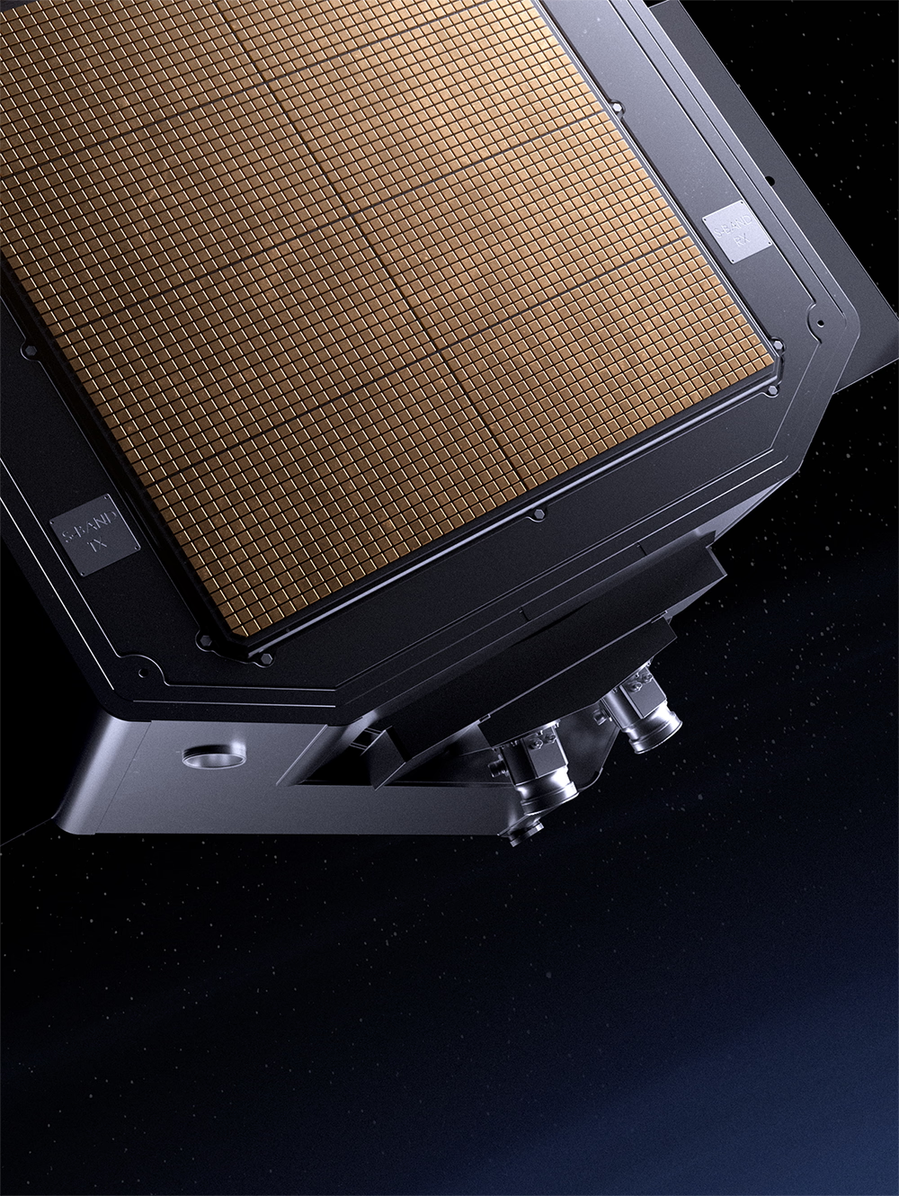
Technology
Purpose-built for VLEO. Low-drag designs with atomic oxygen mitigated, autonomous station-keeping. Low jitter precision with CMG-enabled agility. We built the recipe for any mission in VLEO—not the other way around.
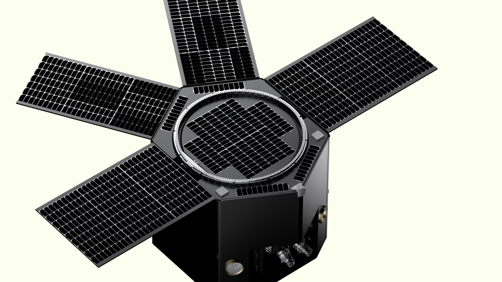
Platform
Our platform supports diverse mission types and payloads. Our payload options can be configured for a range of remote sensing applications. Full-stack services for payload integration, launch, and mission ops.
Domain Expertise
Flight-Proven. Deep expertise of the unique VLEO environment—from drag dynamics to orbital mechanics. A mission partner with demonstrated on-orbit heritage.
Space Force
AFRL
NASA JPL

The Team Bringing
Space Closer to Earth


Strategic Advisory Board
Strategic Advisory Board


Vital Insights From
Orbit to Action
Albedo’s Next VLEO Mission: Vicinity
Clarity-1: What Worked, and Where We Go Next

New Frontiers in Orbit: Building Imaging Satellites for VLEO (Very Low Earth Orbit)
Architect Your
Mission in VLEO
Our team brings together decades of experience from Lockheed Martin, SpaceX, NASA JPL, and the DoD Community.